
Land Information New Zealand (LINZ), the New Zealand Hydrographic Authority, has recently revised and published an updated version of HYSPEC, the overarching specification for LINZ contracted hydrographic surveys. This major revision sees a move to a digital first, data centric environment and reflects the changes in technology and methodology for the collection, processing and delivery of digital marine geospatial data and information.
In 1996, the New Zealand Government tasked Land Information New Zealand (LINZ) with the responsibility for the purchase of the Crown’s core hydrographic services, including hydrographic surveying. LINZ identified the need for a hydrographic and bathymetric strategy, recognising that it wasn’t just hydrography for safety of navigation, but also a need to define the shape and depth of the seabed within New Zealand’s Exclusive Economic Zone and the Ross Sea. One objective of the strategy was to develop a full set of standards and to review such standards from time to time.
LINZ was one of the first Hydrographic Offices to contract out survey work and was instrumental in establishing a hydrographic specification for out-sourcing surveys. The subsequent development of a New Zealand technical specification was, and still is, recognised around the world as a first of its kind.
In 1998, HYSPEC was created. Based on the International Hydrographic Organization (IHO) Standards for Hydrographic Surveys, Special Publication No 44 or S-44, HYSPEC was very prescriptive on how to conduct the survey. It even included a section on ‘Survival in Remote Locations’.
With the introduction of multibeam echo sounder (MBES) systems and the future objectives of LINZ to map the extended continental shelf, LINZ published another world-first in 1999, the Hydrographic MBES Survey Standards. This was a result of work undertaken by John Hughes Clarke of the Ocean Mapping Group, University of New Brunswick, to develop a specification that covered the acquisition, management and delivery of multibeam data. This specification was subsequently incorporated into HYSPEC in 2001.
Until now, LINZ had made relatively minor changes to HYSPEC. More recent changes reflect the move away from a paper-centric environment to a digital one.
This latest version, published June 2020, is a comprehensive overhaul of the content and reflects the changes in technology and methodology for the collection, processing and delivery of digital marine geospatial data and information. Hydrographic surveys now include technologies such as Satellite Derived Bathymetry, Airborne Laser Bathymetry and the use of autonomous platforms such as Unmanned Surface Vessels and Unmanned Aerial Vehicles.
Since 2015, LINZ has partnered with other organisations to fund the collection of datasets such as seafloor backscatter and water column backscatter for scientific purposes, enabling analysis to better understand and manage the marine environment. These datasets are now the norm for a LINZ hydrographic survey.
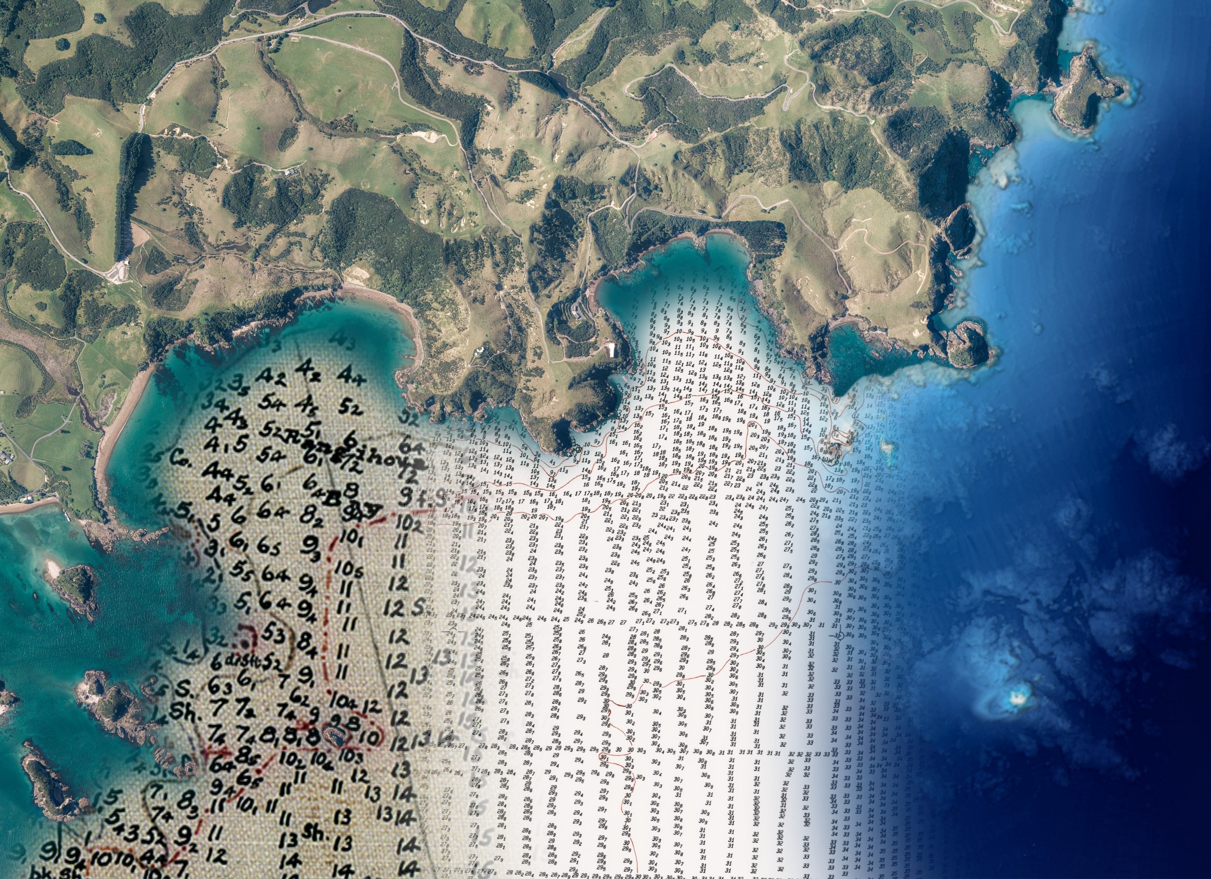
Survey deliverables have moved away from traditional hard copy sounding sheets depicting a selection of depths at a given scale. Bathymetric surfaces are now required, along with vector point/line/area information in IHO S-57 format with S-100 ready metadata. This streamlines the end-to-end process from data collection to populating a central source database, enabling the automation of several processes. HYSPEC also makes provision for delivering bathymetric surfaces derived from a statistical analysis method, such as CUBE.
In compiling the latest version, LINZ reviewed standards and specifications created by other hydrographic offices including Norway, Australia, UK and US; as well as the draft version of IHO S-44 6th Edition. LINZ considered using the S-44 standards instead of continuing with the LINZ defined standards. However, as S-44 provides only the minimum standards to be achieved; and since today’s technology is capable of easily achieving and exceeding these minimum standards, it was decided to retain and refine the LINZ-defined standards which remain more stringent than S-44.
Over the past two years LINZ has trialled HYSPEC v2.0 with our hydrographic survey panel of suppliers, making adjustments where necessary and we are grateful for the input received from several other organisations and individuals. LINZ continues to keep an eye on future developments, emerging technologies and processes to futureproof our specifications and to lead good practice.
HYSPEC is available from the LINZ website https://www.linz.govt.nz/sea/charts/standards-and-technical-specifications-for-our-chart-and-hydrographic-work.