


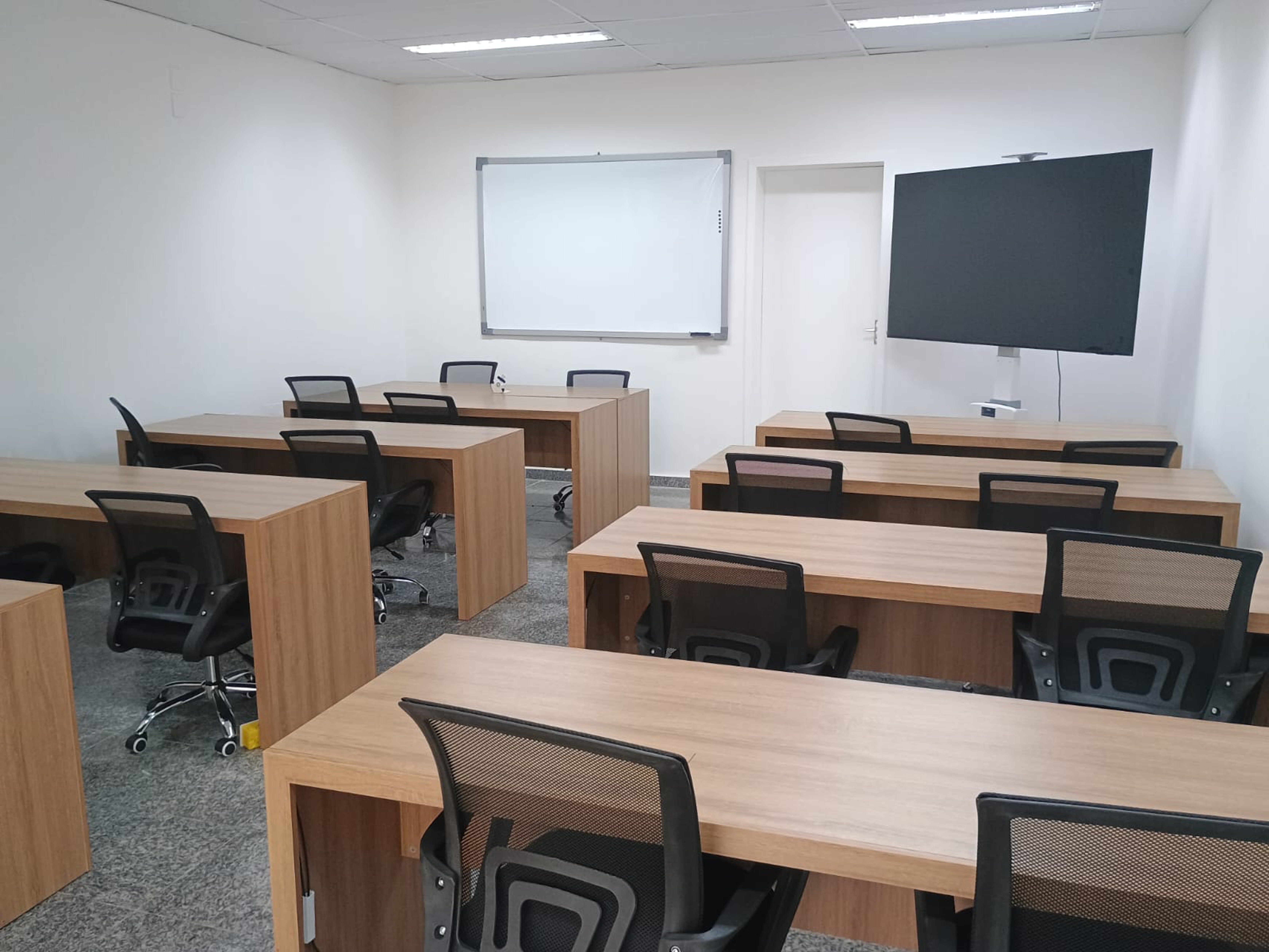
As part of the celebrations for World Hydrography Day, June 21st, and the 9th Anniversary of LA-RENC, the Directorate of Hydrography and Navigation inaugurated the LA-RENC training center (Figs. 1–4).
The Latin American training center has been realized with the support of the International Centre for Electronic Navigational Charts (IC-ENC) Steering Committee and DHN, and it will play a crucial role in both the LA-RENC and IC-ENC. The LA-RENC training center is the first regional training center, not only of the IC-ENC but also recommended by the IHO, and represents an important milestone for technical training in Latin America. The creation of this center reinforces IC-ENC’s commitment to developing regional skills and disseminating best practices in the area of hydrography and nautical cartography.
It was developed to transform relevant hydrographic data and information into electronic charts and services as a creative and well-considered teaching tool for the IC-ENC community. Its first goal is to provide training for the new vector electronic chart series of the S-100 standard. The main objective of this center is to offer specialized courses not only in the validation of Electronic Nautical Charts (ENCs) in the S-57 format, but also in supporting the transition and production of ENCs in the new international S-101 standard.
Based on the aptitude and commitment of each student, the training center’s primary goal is to offer the best training possible to the IC-ENC Member States, especially the Iberophone countries. DHN believes that education is the foundation for building a better and more just future, and this training center provides a welcoming, stimulating, and quality environment for all 54 IC-ENC members (Fig. 4).


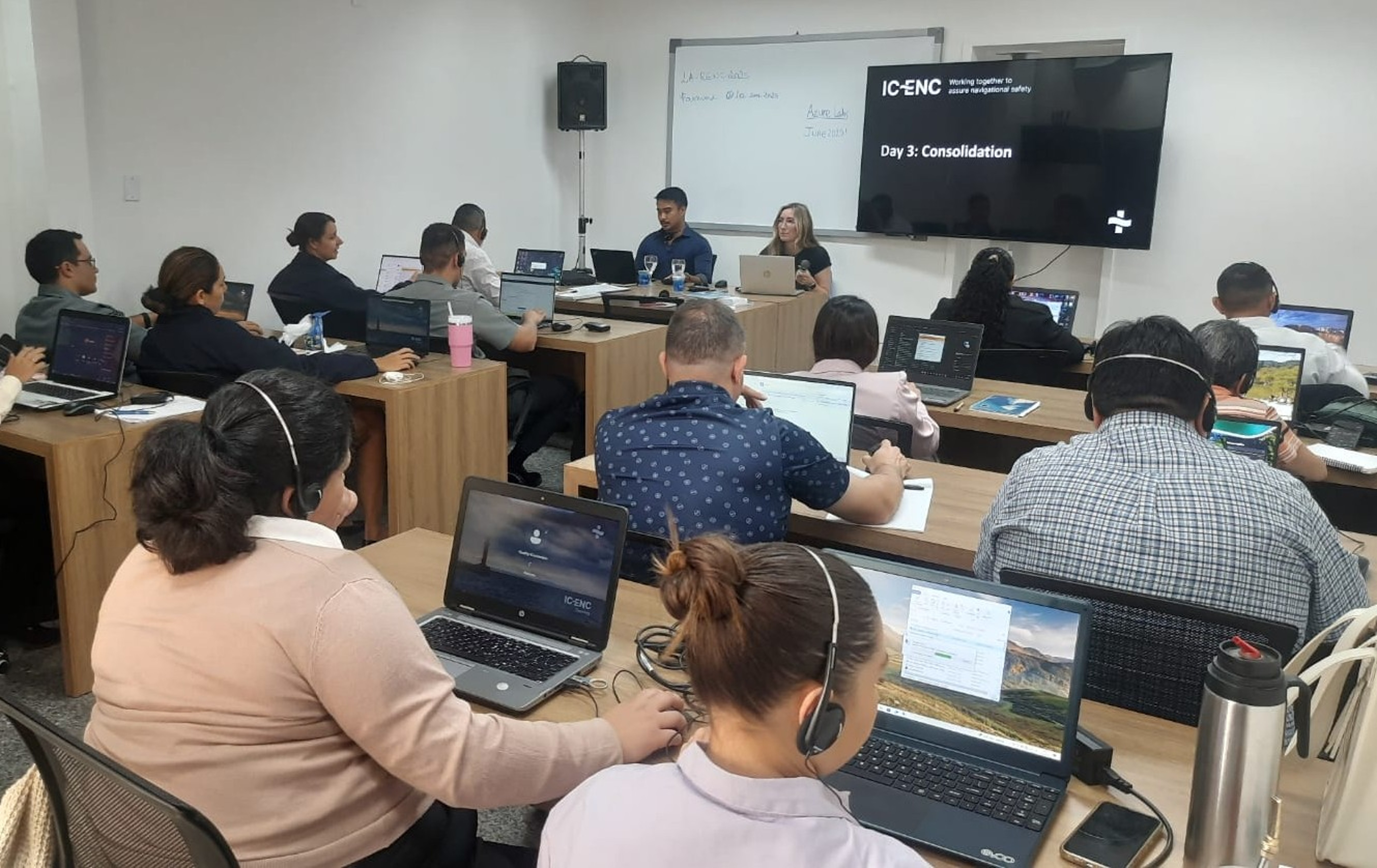
As part of the inauguration activities, the first training session at the new facilities was held from the 23rd to the 27th June 2025: “Quality Training for S-57 Electronic Navigation Charts, S-57 to S-101 Conversion, and S-101 Validation” (Fig. 5). The training was led by two IC-ENC validators from the UK, and was attended by representatives from several countries: Argentina, Brazil, Chile, Colombia, Cuba, Panama, Uruguay, and Venezuela.
The training allowed participants to familiarize themselves with the entire validation process performed by IC-ENC, from ENC submission to the validation report. A wide range of topics were highlighted, including the standards used in the production of S-57 and S-101 ENCs and the IHO S-58 validation standard. The various software tools used for validation (Dkart and ENC Analyzer) were also discussed. ENCs in S-57 format were converted to S-101 format and validated according to the criteria established for the S-101 product.
During the interactive sessions, participants were able to deepen their technical knowledge about cartographic data validation, as well as discuss the challenges associated with the transition to the new S-101 standard.
Complementing the technical training was a workshop led by LtCdr Mileze. This session provided a forum for participants to share experiences and clarify questions, addressing topics such as the operational impacts of adopting the S-101 standard, the implementation strategies planned in each country, and the specific needs for technological and institutional adaptation.
The success of this first initiative is already driving the planning of new training courses for 2026 and 2027, which will follow the same collaborative and multilingual format (Fig. 6), bringing even more updated content aligned with international trends in the area of electronic nautical cartography.


The future is bright and the LA-RENC is committed to staying ahead of the curve, offering ongoing and strategic support to IC-ENC member countries. Our goal is to ensure that the production of ENCs is carried out with excellence, aligned with the highest international standards of quality, innovation, and accuracy. Through technical training, regional cooperation, and continuous education, IC-ENC seeks to strengthen the capacity of member states to meet the present and future challenges of nautical cartography.
LA-RENC, located at the Navy Hydrographic Base in Niterói (BHMN; Figs. 7–9), began its validation processes in June 2016. Since then, the office has completed a total of 15,703 validations, including updates, new editions, and new cells. In addition to these activities, the LA-RENC also plays an important role as the IC-ENC’s primary point of contact for member states in the Latin American region, providing guidance and support on issues related to S-57 ENCs and, in the future, supporting production in S-101.
The LA-RENC team of validators has expertise in validation processes. It uses various software tools to analyze each ENC according to the coding rules and practices defined in the S-57, S-58, and future S-101 and S-158 standards, as well as the IC-ENC policies, based on real and practical user experience.
The standards and reports generated by software tools, due to different concepts, can be ambiguous and complex, so the expertise of validators in interpreting these reports is crucial. This ensures our members receive reports with clear and objective explanations, making it easier for member countries to correct potential errors. Consistency across the entire data set and the overall security and usability of the products are also assessed.
The detailed feedback report for each validation includes possible consistency improvements, providing an overview of the quality and suitability of each ENC for release, as well as offering guidance on how to correct any identified issues and recommending improvement actions.
To ensure the quality, consistency, and reliability of ENCs, IC-ENC and all offices of regional authorities adopt practices based on the standard ISO 9000, focused on quality management systems. In July 2025, the LA-RENC successfully passed its audit, thus maintaining its ISO 9000 certification. Certifying that the IC-ENC and Regional offices are aligned with international standards, especially those of the IHO, are a fundamental requirement for global cooperation.
Regional ENC Coordinating Centres (RENCs) are centers responsible for the validation, maintenance, and distribution of ENCs, ensuring that the data meets the international standards and specifications established by the IHO.
ENCs are designed to ensure the safety and accuracy of navigation routes, facilitating vessel movement in maritime areas, with constant updates to reflect changes in sea conditions and signaling infrastructure. For ENCs to be distributed to the market and used safely, they must be validated by a competent authority, such as a RENC.
One of the RENCs available to the international hydrographic community is the IC-ENC, whose mission is to assist Hydrographic Offices in the production, harmonization, and distribution of high-quality ENCs. This helps ensure that ENCs comply with international standards and with the International Convention for the Safety of Life at Sea (SOLAS).
Currently, IC-ENC has approximately 54 member hydrographic offices who contribute towards the objective, through “global collaboration, with a regional focus”. This is achieved through carrying out the validation of approximately 10,000 cells per year in the IC-ENC Regional Offices located in Australia, Brazil (LA-RENC), the United States, and in the future also in Nigeria.


