


Abstract
The Canadian Ocean Mapping Research and Education Network (COMREN) aims to develop research activities, achieve technology transfer to industry, and develop and run educational programs. The International School on Hydrographic Surveying (ISHS) is the first training program proposed by the network. It was designed to provide participants with a multi-disciplinary training experience in close interaction with high-level scientists, professionals, and stakeholders from the hydrospatial environment. The 2021 edition of the school took place from October 25 to 29 at Université Laval with a set-up compliant with the pandemic conditions. This note highlights the main facts and outcomes about this training.
1. Introduction
COMREN was formally established in February 2016 by various educational and applied research stakeholders, each having a number of pre-existing informal connections. By formalizing the association, the intent was to strengthen a pan- Canadian academic, and one non-profit, network in ocean mapping, and to define and coordinate the fundamental objectives and activities to be subsumed by the network (Church et al., 2020). The membership stretches from the Pacific to Atlantic Oceans, with interests in the Great Lakes-St Lawrence freshwater system and the Arctic Ocean. COMREN operates in both French and English, Canada’s official languages at the national level. It aims to develop research activities, achieve technology transfer to industry, and develop and run educational programs. The International School on Hydrographic Surveying (ISHS) is the very first training program proposed by the network. Its organization specifically relies on the unique, complementary, and overlapping expertise, capacity, and equipment of its members. In addition, some members of the COMREN are certified to offer CAT-B and CAT-A international training.
2. About the International School on Hydrographic Surveying
The International School on Hydrographic Surveying was designed to provide participants with a unique, multi-disciplinary training experience in close interaction with high-level scientists, professionals, and stakeholders from the hydrospatial and marine environment in a state-of-the-art technological setting. It was also intended that participants would be able to deepen their knowledge and develop their skills through hands-on experiments aboard hydrographic survey vessels and with a wide variety of sensors. Since COMREN operates in both French and English, it was decided to conduct the ISHS school in a bilingual format, namely: the course notes only in English but the lectures either in English or French according to the lecturer preferences.
The objectives of the International School on Hydrographic Surveying are as follow:
1. To allow participants, both students and professionals, to benefit from a series of lectures and discussions on themes central to hydrospatial (Hains et al., 2021).
2. To allow participants, students and professionals, to learn about recent topics and approaches related to hydrospatial and its applications.
3. To implement, during practical sessions, tools and methods for processing bathymetric data and sonar imagery.
4. To promote the cross-fertilization of expertise between students, researchers, professionals, and practitioners in the hydro and geospatial sectors, and create links for future collaborations.
Université Laval has been the host institution for the two ISHS editions so far. All members of the COMREN network are involved either in the organization of the school [i.e. University Laval (ULaval), Univeristy of New Brunswick (UNB)], in the production of courses [ULaval, UNB, Marine Institute of Memorial University (MI-MUN), Nova Scotia Community College (NSCC), University of Ottawa (uOttawa), York University (YorkU) and the British Columbia Institue of Technology (BICIT)] or in the field training during hydrographic surveys [Centre interdisciplinaire de développement en cartographie des océans (CIDCO)]. In addition, this training benefits from the support of different partners, including the University of New Hampshire, Centre for Coastal Ocean Mapping (UNH-CCOM), the Canadian Hydrographic Association (CHA), industry collaboartors such as: QPS and the Ocean Group.
The first edition of ISHS was held from May 26 to June 7, 2019, on the campus of Laval University. The second edition was supposed to take place in May the following year. But unfortunately, it had to be cancelled due to the COVID-19 pandemic. This second edition was rescheduled for the fall of 2021.
3. The 2021 fall edition
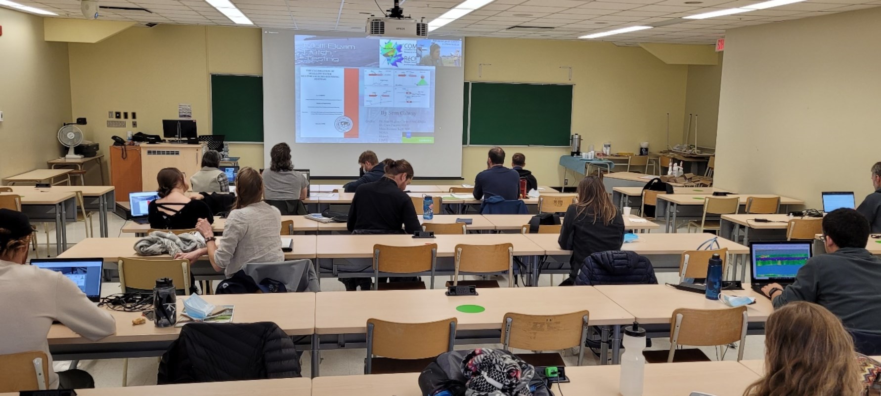
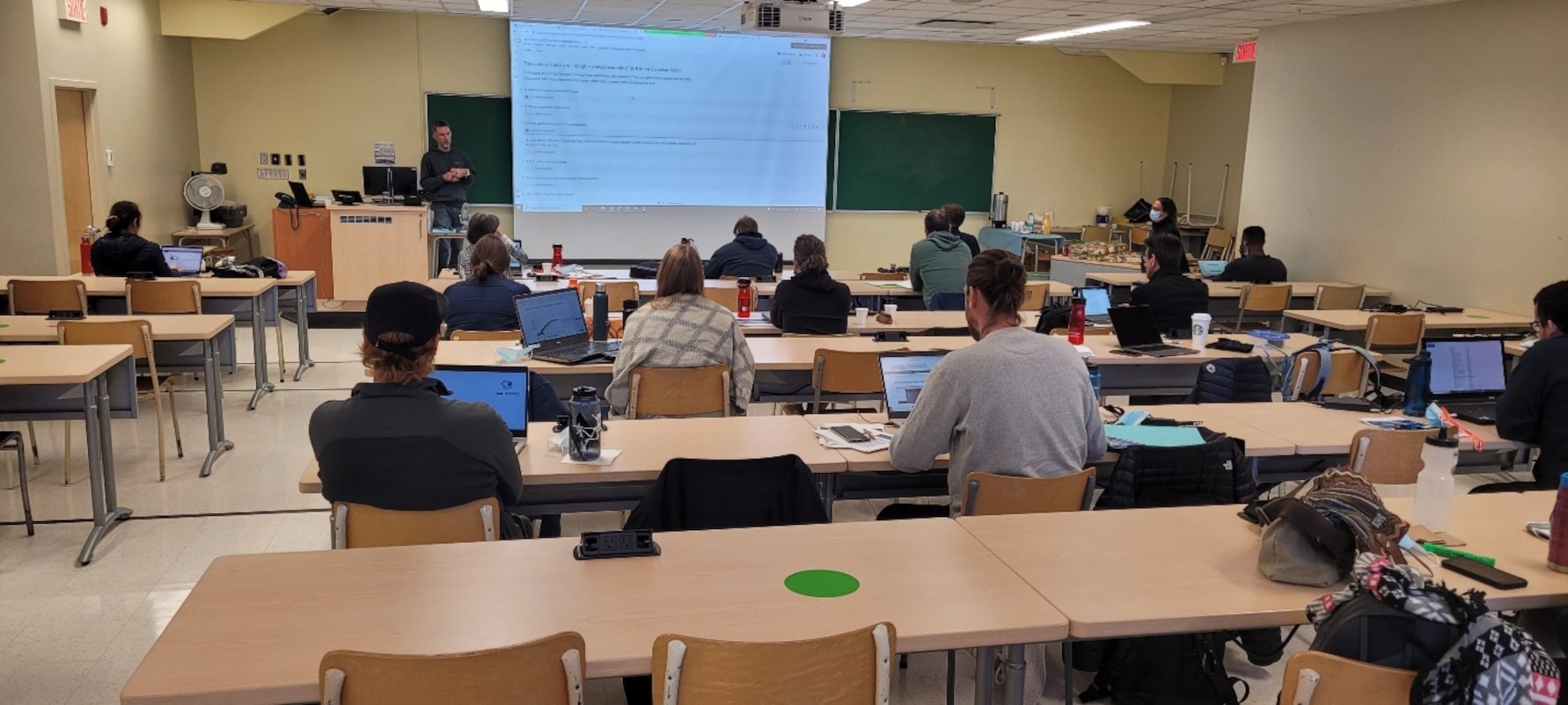
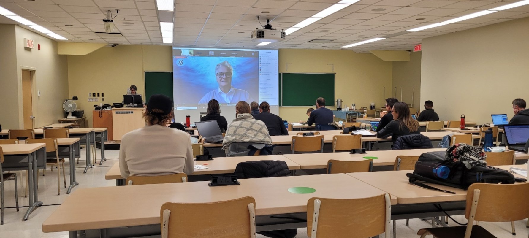
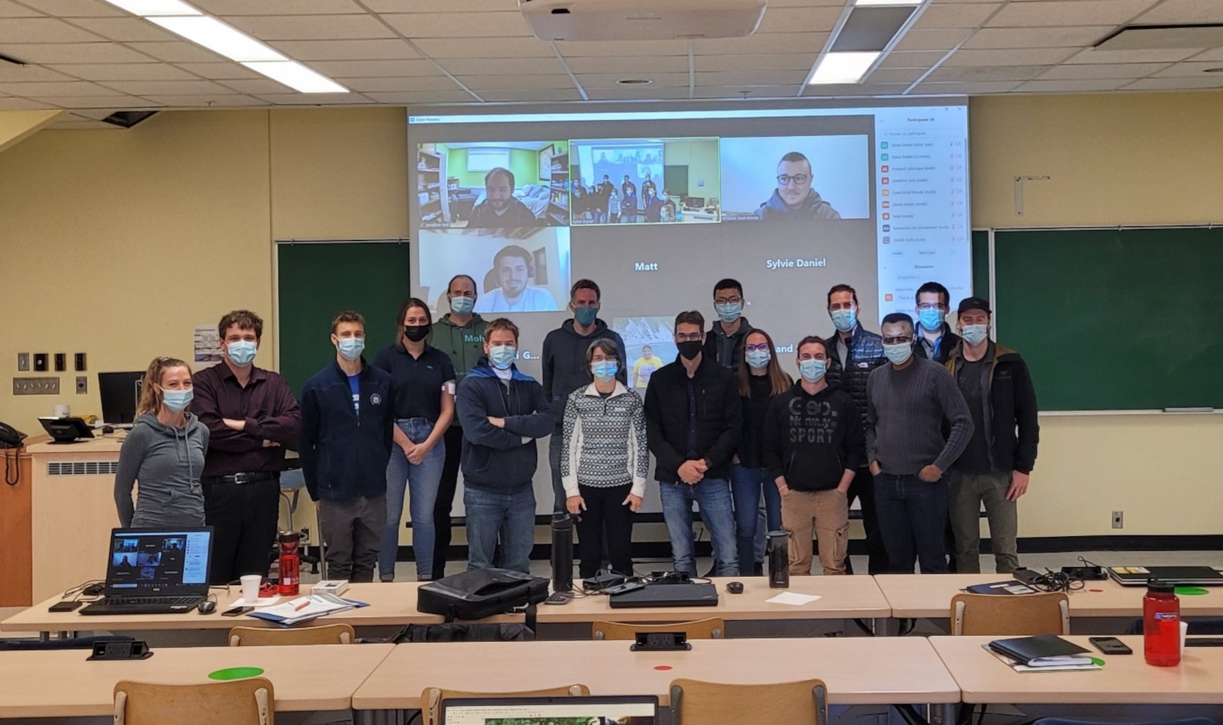
The 2021 edition of the ISHS took place from October 25 to 29 on Campus at Université Laval. Given the pandemic, some adjustments have been made to the training compared to the initial teaching formula. Thus, the school was offered in a co-modal mode, with the possibility of participating online or in-person on the campus of Laval University. There were 14 people on site, and 23 connected virtually online. The geographic origin of the face-to-face participants was mainly from the Canadian provinces of Quebec and Ontario, in addition to France. 75% of them were professionals, and 25% were graduate students. In the case of online participants, the geographic origin was much more diverse (Canada, United States of America, United Kingdom, and Australia), and the vast majority of them were professionals. All the participants had access to the training and scientific material, the courses and lectures provided by national and international experts, and their related recordings. As it was already highlighted during the first edition of ISHS, an added value of the face-to-face participation is the strong networking that takes place between the participants and speakers.
The fall school addressed the following themes, covering a wide variety of topics from the basics of hydrographic surveying to the most recent developments in hydrospatial:
- Fundamental notions and concepts related to multibeam surveys
- Vertical referencing, hydrodynamic modelling
- Digital bathymetric model, uncertainty estimation
- Patch test from a hydrographic and LiDAR perspective
- Processing of backscatter data
- Recent developments in GNSS and their application to hydrography
- Bathymetry in rivers and shallow waters
- Topo-bathy LiDAR and hydrodynamic modelling
- Bathymetry derived from satellite images
Surface and submersible hydrographic survey vehicles and their positioning methods
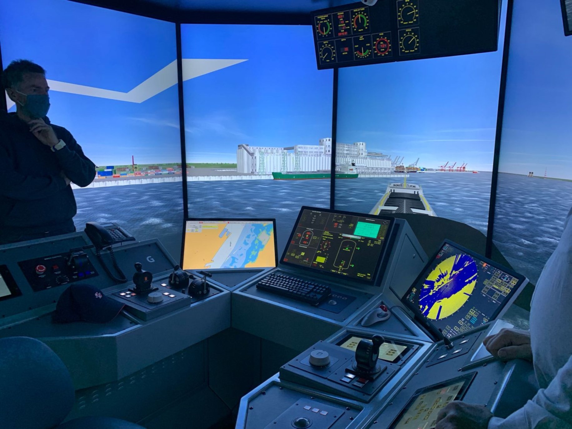
This arrangement of topics, from the basics to more specific areas, allowed a common leveling of the participants and a progressive increase in the group’s capacity. To further encourage participant engagement in this training, a multi-faceted and dynamic approach was adopted, including lectures, visits, and a hands-on session mentored by experts from various disciplines. Lectures touched on cutting-edge technology and recent advances in the field of hydrography, such as virtual reality and maritime simulation, as well as hydrospatial in the world. The participants on – campus also had the chance to experience an aspect of virtual reality by visiting the Maritime Simulation and Resource Centre (https://sim-pilot.com/en/) in Quebec City. During the hands-on session, various bathymetric data processing exercises and demonstrations with the QPS Qimera software were offered to participants. While originally offered only to people on campus for logistic reasons, the hands-on session was extended to the online participants thanks to QPS enabling temporary remote access to the Qimera software.
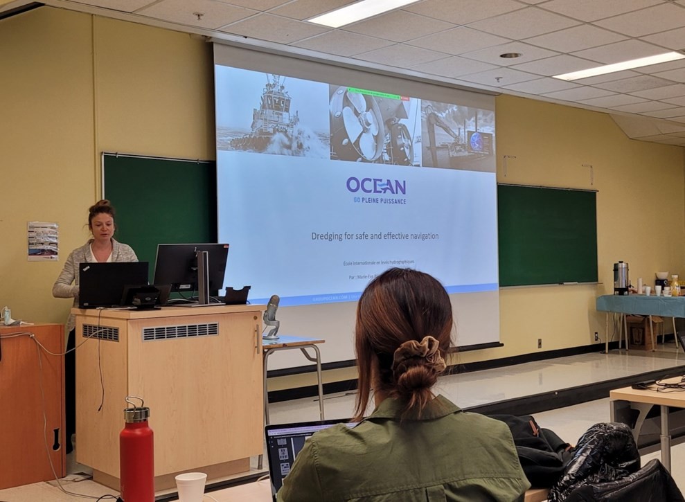
Central to the COMREN mission is providing opportunities to train Highly Qualified Personnel (HQP) who can help advance ocean technologies and solve problems — both applied and theoretical. COMREN aims at ensuring the connections and incentives needed for HQPs to effectively collaborate and innovate in Canada. To comply with this goal, a one-day workshop on navigation and port activities was organized during the fall school. This event brought together many experts and stakeholders who addressed important issues related to the transformations affecting the field like safe and efficient navigation products, data and services, marine autonomous surface ships, pilotage, and the S-100 standard [International Hydrographic Organization (IHO) Universal Hydrographic Data Model, 2018], to name a few.
Despite the challenges offered by the COVID-19 pandemic, a successful edition of the ISHS was offered in the fall of 2021. The comments shared by the participants, lecturers, and experts during the school were very positive and enthusiastic. A satisfaction survey was conducted at the end of the training to gather the attendee’s feedback. Many emphasized the quality of the organization and different courses, the high calibre of the lecturers in terms of expertise and dissemination of their topics, and the accessibility of the training with respect to the registration costs. The co-modal delivery of the courses has worked well, as well as the bilingual approach. Nevertheless, the latter could benefit from including English subtitles in the recordings, which was not the case for this edition. Several suggestions were made for future editions such as, for example, more presentations on river bathymetry, survey examples with Remotely Operated Vehicles (ROV), Autonomous Underwater Vehicles (AUV), and Automated Surface Vehicles (ASV), or bathymetry applications in engineering projects. Also, having a more extended hands-on session was mentioned by several participants.
4. Perspectives
Based on the success of the 2021 Fall School, a new edition of the ISHS is planned for 2022. While the date is not yet determined, the period of late summer and early fall is preferred. The co – modal approach will again be adopted in order to facilitate access to this training for as many people as possible. In this spirit, we also aim to keep registration costs reasonable. If the health situation continues to improve, field surveys will once again be part of the school’s program for on -site participants. These have been identified as an important attraction of the training. As a follow-up to the navigation and port activities workshop, we want to increase the participation of industry and the community of practice in the ISHS school. New initiatives and activities should therefore be included in the program of the next edition of the school, as we work to continuously improve the program based on participant feedback.
For more information: https://crdig.ulaval.ca/ecole-internationale-en-leves-hydrographiques/?lang=en
5. References
– Church, I., Daniel, S., Mullan, S., Purcell, M., Laflamme, J., Knudby, A., Bisnath, S., Galway, S. and Hains, D., (2020). “The Canadian Ocean Mapping Research and Education Network (COMREN)”. Note in the International Hydrographic Review, No. 24, November 2020, pp. 173-180. https://iho.int/uploads/user/pubs/ihreview_P1/IHR_November2020.pdf
– Hains D., Ponce R., OEI P., Roperez J., Yang P.Y., Cove K., Cawthra H.C., Bergmann M., Maschke J., Mihailov M.E., Echeverry P., and Obura V. (2021). “HYDROSPATIAL… A GLOBAL MOVEMENT! “. Note in the International Hydrographic Review, No.26, November 2021. https://ihr.iho.int/articles/hydrospatial-a-global-movement/
– IHO Universal Hydrographic Data Model (Edition 4.0.0), December 2018: https://iho.int/en/standards-and-specifications