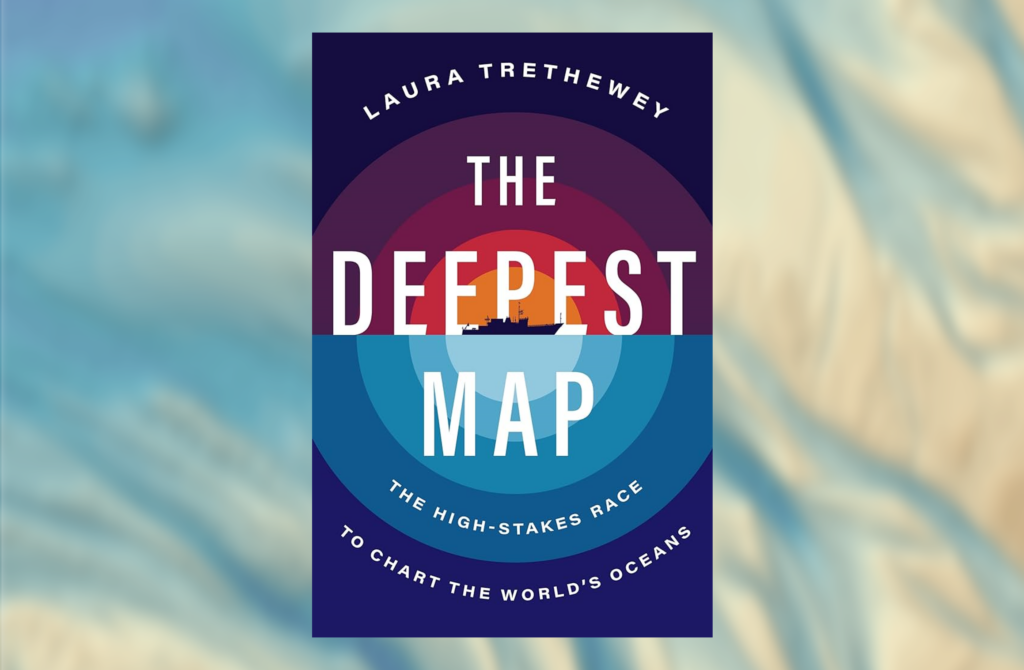
By Laura Tretheway, published by HarperCollins Publishers LLC, New York City, New York, U.S.A. in 2023. Goose Lane – Editions, 304 p., ISBN 978-0063099951
Award-winning environmental and ocean journalist Laura Tretheway takes readers on an interesting and informative voyage into the seascape of ocean mapping in their 2023 book, The Deepest Map – The High-Stakes Race to Chart the World’s Oceans.
Using the author’s own firsthand experiences with the ship and crew of the E/V Nautilus plus the recollections of a new hydrographer who worked with the high-profile Five Deeps expeditions as the main story arc, the book explores many of the key issues surrounding the quest to map the world’s oceans.
Not surprisingly, the Nippon Foundation – GEBCO Seabed 2030 Project quickly surfaces and becomes a main theme in the book. The book is not overly technical, instead, it provides just enough detail for the average reader to appreciate the technological challenges and advancements associated with hydrographic surveying and how that plays into the to the perils and the politics of ocean mapping. At the same time, it tries to answer the fundamental question: Why is it important to fill the gaps in our collective knowledge of the oceans?
Any time that “the ocean” is the subject of investigation, trying to find the appropriate scope of the work can be daunting. However, through a series of interrelated chapters, the author deftly and concisely ties together the personal, hands-on experiences of those doing the surveying and driving innovation with what transpires in meeting rooms and board rooms at the national, regional, and global levels.
For cartographers, the chapter on the Marie Tharp maps dives deeply into why these are regarded as revolutionary: These maps, the first being published by National Geographic in 1967, were the first to give the public a glimpse of what the seafloor truly looked like. However, the author also points out that these maps gave the impression that the world’s oceans were well mapped when, in fact, the maps were more akin to illustrations as they were based on very sparse data. This early impression persists today in many minds and presents a challenge to those seeking more support for continued ocean mapping. Importantly, the chapter is a reflection on the power of maps to change society’s perception of the world’s oceans and seas.
To make significant and rapid progress towards better and more complete maps of the oceans, innovations in ocean mapping technology and how the problem is approached will be required. Examples of each are discussed in chapters on crowdsourcing and the application of automation (e.g., robotics) to hydrography.
In the chapter, “Buried History,” the author reminds us that even with the vast body of knowledge humans have acquired about the oceans over millennia, the rate of new discoveries has not abated. These discoveries, whether of natural features, biology, or archeological, help us to better understand not only the ocean itself but also the human-ocean relationship. With each discovery, questions of ownership and who has the right to exploit (or not) these finds, come to the fore.
Politics is inescapable when talking about ocean mapping and Tretheway gives the reader a window into this world with chapters on the workings of the GEBCO Sub-Committee on Undersea Feature Names (SCUFN) and the International Seabed Authority (ISA). The former struggles to maintain an apolitical stance; a position made more difficult by the increase in bathymetric data, which, in turn, permits better definition of existing and new undersea features. Increasingly nationalistic positions, particularly when meetings move out from behind closed doors, further complicate matters. Matters also get complicated when commercial, national, and international interests overlap as it is the case with the ISA, which was formed in 1994 as an autonomous international organization under the Agreement relating to the Implementation of Part XI of the United Nations Convention on the Law of the Sea (1994 Agreement). By shining more light on this organization, the author provides the reader with valuable insights at a time when everyone should be considering the good and adverse consequences of seabed mining.
Throughout the book, the issue of diversity and inclusion (and corresponding respect), particularly as it relates to gender, is touched upon. The gender imbalance within the hydrographic community is well documented (including within the IHR) and it is important that the author draws attention to the situation. For those readers outside the hydrographic community, some information on the steps being taken today to address diversity would have been useful. Obviously, there is more work to be done to bring a gender-balance to all levels of the discipline.
Within the scope of the investigation, the author has sought out the input of many subject matter experts and the author’s diligence in researching is evident from the extensive references cited. These sources, references, and the list of acknowledgements contain some of the most well-known and respected names in the hydrographic and ocean mapping communities, including many who are active within the International Hydrographic Organization (IHO) and would be familiar to IHR readers.
The author answers the “why map the ocean” question thoroughly and convincingly and addresses the fear that this information could also be used by bad actors. In the end, however, it is concluded that while maps have always been used as tools for exploitation, they are also critical for conservation, protection, and management of the ocean environment.
The Deepest Map engages and enlightens the reader, and we are grateful for it. This is a recommended read.