
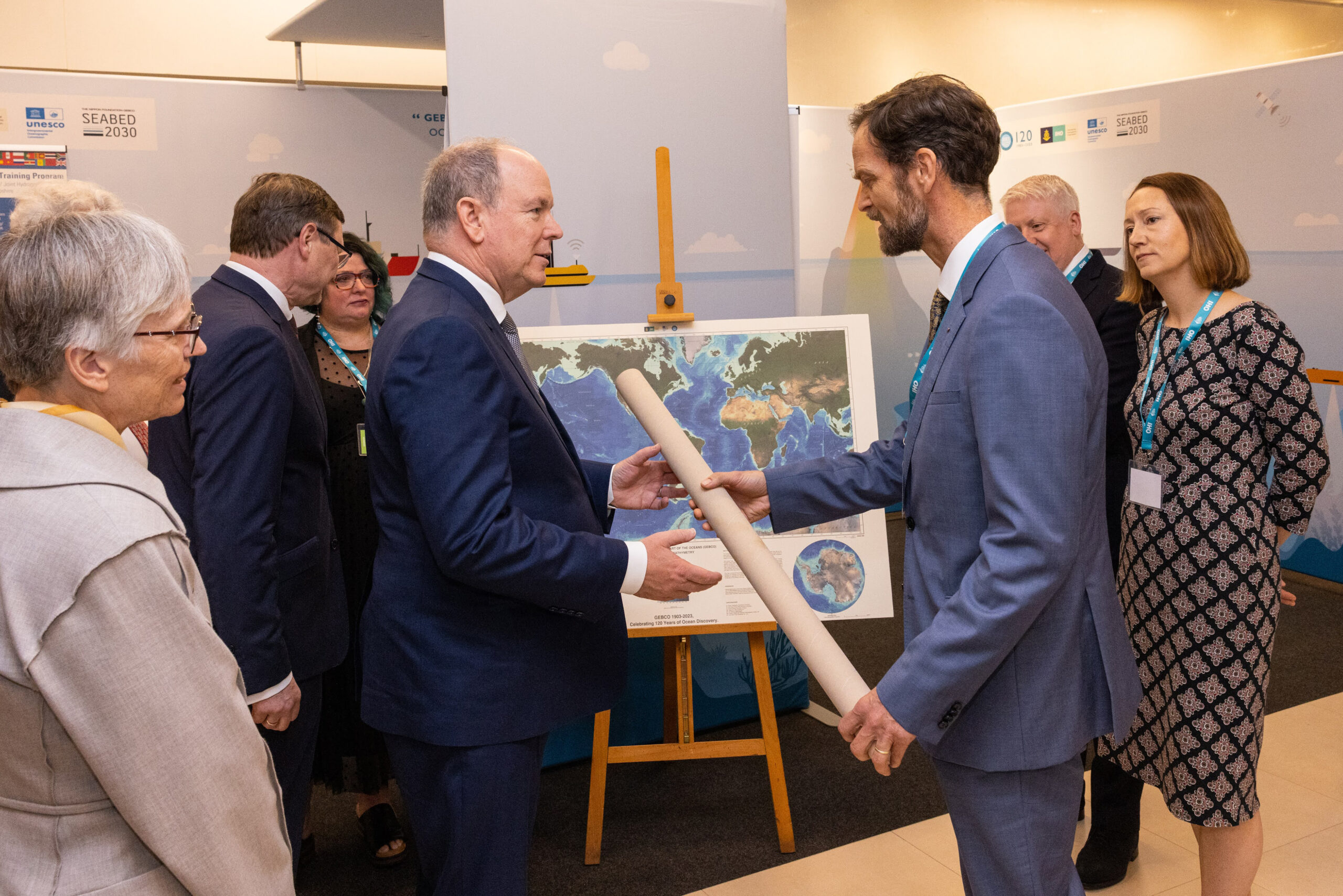
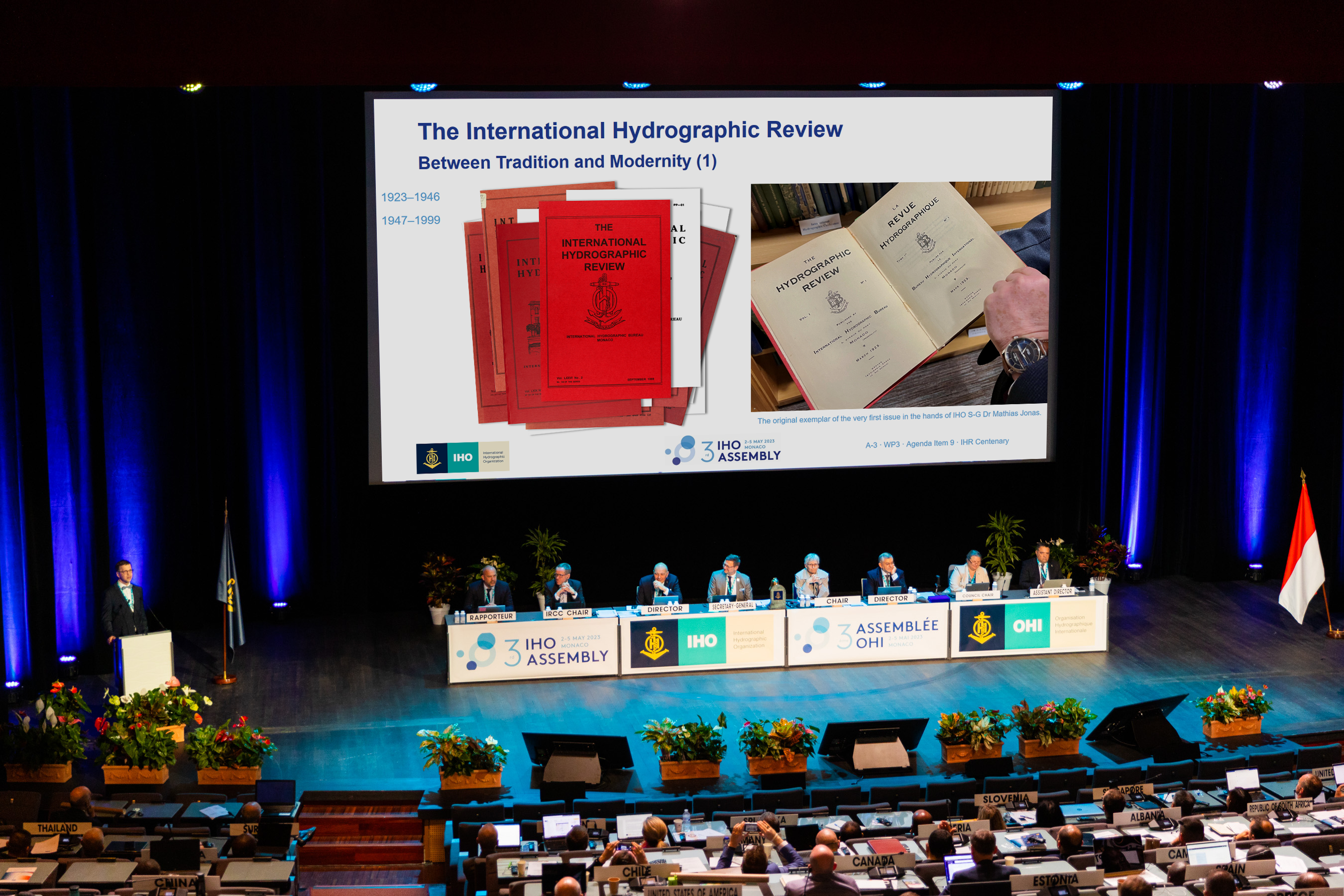
Welcome to the second issue of the 29th volume of The International Hydrographic Review (IHR). This year is a jubilee year – not only does it mark the centenary of our publication, celebrated with a special Jubilee Issue1 and a presentation at the 3rd Assembly of the International Hydrographic Organization (IHO) in Monaco in May 2023, but it also signifies a remarkable milestone for the General Bathymetric Chart of the Oceans (GEBCO) program. This year, we celebrate GEBCO’s 120 years of ocean discovery!
In April 1903, His Serene Highness Prince Albert I of Monaco chaired the first meeting of the international Commission on undersea feature names. Around this time, H.S.C. Prince Albert I offered to organise and finance la Carte générale bathymétrique des océans with the objective of creating a comprehensive bathymetric chart of the world’s oceans. Since then, GEBCO has been dedicated to exploring and mapping the depths of our oceans and to providing invaluable insights into the global marine underwater world.
GEBCO is a pioneer in ocean mapping! GEBCO is one of the longest running hydrographic and oceanographic projects to date! And GEBCO’s contribution to global ocean science is more crucial than ever in light of the immense challenges posed by climate change! Evert Flier, Chairman of the GEBCO Guiding Committee, highlights these aspects and others in his contribution The General Ocean Bathymetric Chart (GEBCO) – 120 years of ocean discovery, thereby duly acknowledging this extraordinary initiative.
Two years ago, when I took over as Chief Editor, I set myself the goal of broadening the content of the IHR by opening it up for the entire spectrum relevant to hydrography. Together with you, dear readers, I aimed to build bridges to disciplines neighbouring hydrography. With this issue, we have come a bit closer to achieving this objective. You can look forward to 12 scientific peer-reviewed articles, 12 notes (technical reports) and two contributions of general information, all from the fields of geodesy, geo-information science, remote sensing, oceanography, hydrology, cartography, photogrammetry, international law and of course hydrography.
Let us commence with hydrography: The continuing nature of GEBCO’s remarkable 120-years journey and the vibrant community behind the GEBCO programme is evident from the various contributions in this issue. Colin Ware et al. present BathyGlobe GapFiller, a planning tool to help fill the gaps in world bathymetry (pp. 16–27). Likewise, the analyses by Mark Zimmermann & Megan M. Prescott help to focus efforts towards mapping the gaps to further enhance the progress of the Seabed 2030 project (pp. 28–45). Crowdsourced bathymetry initiatives can also play a supportive role in mapping our seabeds, as Philip Payne shows (pp. 248–253).
Optical methods and techniques of photogrammetry and remote sensing are mostly complementary measurement techniques to hydroacoustics and important neighbouring disciplines of hydrography. Their adoption can improve the accuracy and efficiency of hydrographic data acquisition and open up new areas of application. In this context, David Mader et al. analyse the potential of full-waveform stacking techniques applied to coastal airborne LiDAR bathymetry data (pp. 46–64), Christoph S. Werner et al. develop a compact pulsed time-of-flight LiDAR platform for underwater measurements (pp. 200–207), Gilman Ouellette Jr. et al. develop satellite LiDAR methods to enhance coastal bathymetry coverage (pp. 208–212) and Juan José Bernal Alvarado applies remote sensing techniques for the detection of hydrocarbon pollution (pp. 214–219).
Without geodetic principles, (modern) hydrographic surveying would not be possible. Geodesy provides the spatio-temporal reference in which we locate our measurement platforms and the data we acquire. For the Baltic Sea region, there was an unprecedented agreement between all but one bordering states on a common chart datum – the Baltic Sea Chart Datum 2000 (by Gunter Liebsch et al., pp. 194–199). Kristine M. Larson & Simon D. P. Williams show how GNSS interferometric reflectometry can be used to measure water levels (pp. 66–76). Jean Roger da Silva & Guilherme A. Gomes do Nascimento use dual frequency positioning for ionospheric effects correction (pp. 78–89). Finally, Rodolfo Nogueira Leal Fabricio & Guilherme A. Gomes do Nascimento investigate the use of GNSS receivers in smartphones (pp. 226–236).
The data collected needs to be visualised in an appropriate way, be it the bathymetric data itself or the nautical-cartographic products derived from it. Andre A. Araujo & Nicholas Hedley give a comprehensive overview of trends in bathymetric data visualization (pp. 150–163). Junhyuk Jang et al. investigate how the new S-100 standard influences ship officers’ visual performance during voyage planning tasks (pp. 164–171). A methodological proposal for the standardization of the Electronic Navigational Chart scheme is given by Olga Bonfante et al. (pp. 172–193).
Three articles address the importance of marine geospatial data for the law of the sea (Ilaria Tani, pp. 90–109), present the results of a hydrological study on river flood modelling (Abdoulaye Maïga et al., pp. 110–120) and develop techniques for the extraction and processing of sea surface salinity, an essential variable in oceanography, from satellite data (Obinna C. D. Anejionu et al., pp. 122–136).
In two further hydrographic contributions, multibeam echosounder data are used for a comparative vertical quality analysis (Ítalo Oliveira Ferreira et al., pp. 138–148) and for wreck investigations in shallow waters (Varun Jai, pp. 220–225).
The last four notes / technical reports document the activities of our hydrographic community beyond scientific and technical issues. The following topics will be addressed: Marine Spatial Data Infrastructure implementation (Claude Guay et al., pp. 238–241); collaboration through practical demonstration between industry, IHO Member States and other organisations (Tim Lewis & Nick Swadling, pp. 254–258); empowering women in hydrography (Helen F. Stewart et al., pp. 260–267); international collaboration on transboundary charting discussions (Christie L. Ence & Laura Colombe, pp. 268–271).
I am pleased to have received the FIG Working Week 2023 report from Niklas-Maximilian Schild (pp. 275–276). Ultimately, it documents the active collaborative, interdisciplinary work between the individual fields of the geosciences, in this case between land surveyors and hydrographers. In this context, I would also like to highlight once again the contributions in our Jubilee Issue by Diane A. Dumashie, President of the International Federation of Surveyors (FIG), and Ariel Hernán Troisi, Chair of the Intergovernmental Oceanographic Commission of UNESCO (IOC).
“Every new beginning comes from some other beginning’s end” – Lucius Annaeus Seneca. Manon Larocque was appointed as the new Hydrographer General of Canada and Director General of the Canadian Hydrographic Service (CHS) in September 2023 (p. 273). Manon La rocque succeeds Geneviève (Béchard) McCormack, who is taking her well-deserved retirement. Alongside her duties in the Canadian Federal Government, Geneviève Béchard held the 2nd Chair of the IHO Council from 2020–2023. Together with her predecessor Shepard Smith, Geneviève Béchard reflects on the time as IHO Council Chair (pp. 242–246). On behalf of the Editorial Board, I would like to wish both colleagues fair winds in the future!
On behalf of the Editorial Board, I hope you enjoy reading this new edition of IHR!
Dr Patrick Westfeld
Chief Editor, IHR
- The International Hydrographic Review, 29(1). International Hydrographic Organization, Monaco. https://ihr.iho.int/issues/volume-29-1/ (accessed 10 Oct. 2023).